OUR MISSION
As a 501(c)(3) nonprofit organization, Glen Canyon Conservancy seeks to preserve public lands in northern Arizona, southern Utah and western Colorado for future generations of explorers through retail sales, educational programming and fundraising.
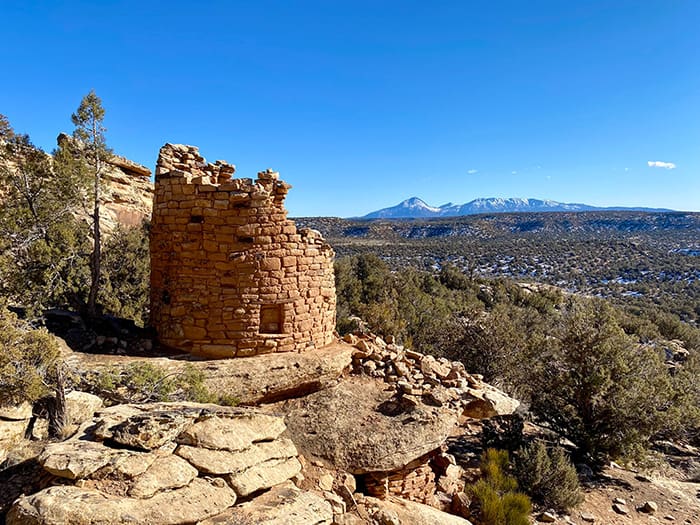
We’re inspiring the next generation of public land stewards to experience Glen Canyon National Recreation Area, Rainbow Bridge National Monument, Grand Staircase-Escalante National Monument, Canyon of the Ancients and more!
VISIT US
Where to Go
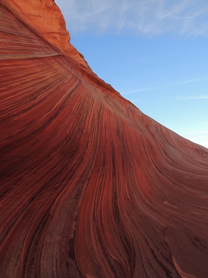
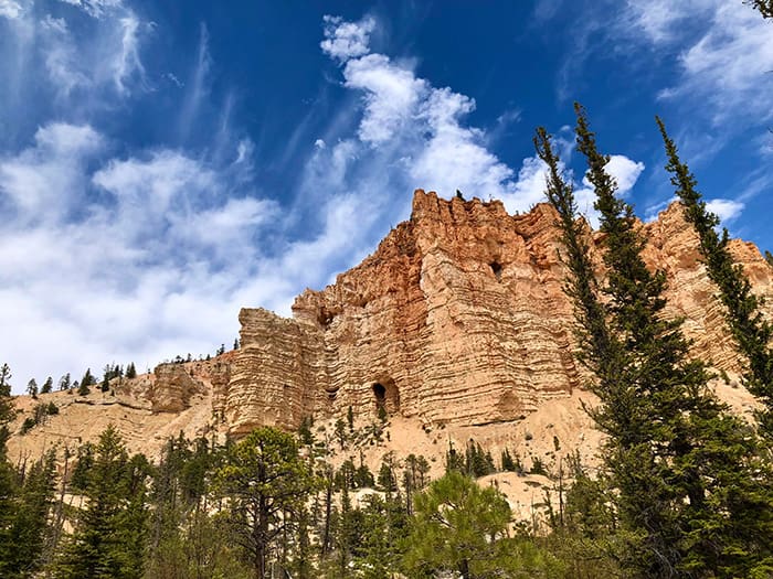
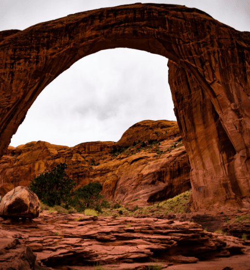
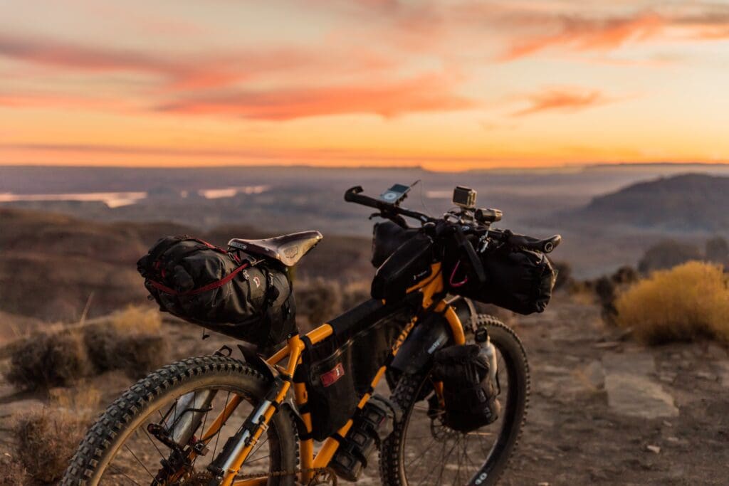
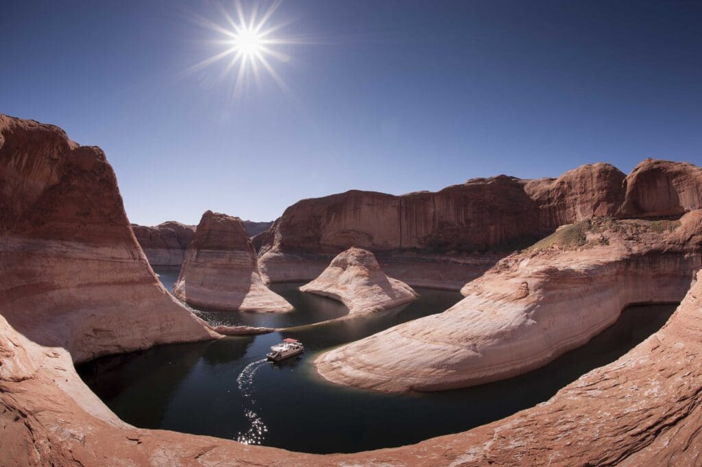
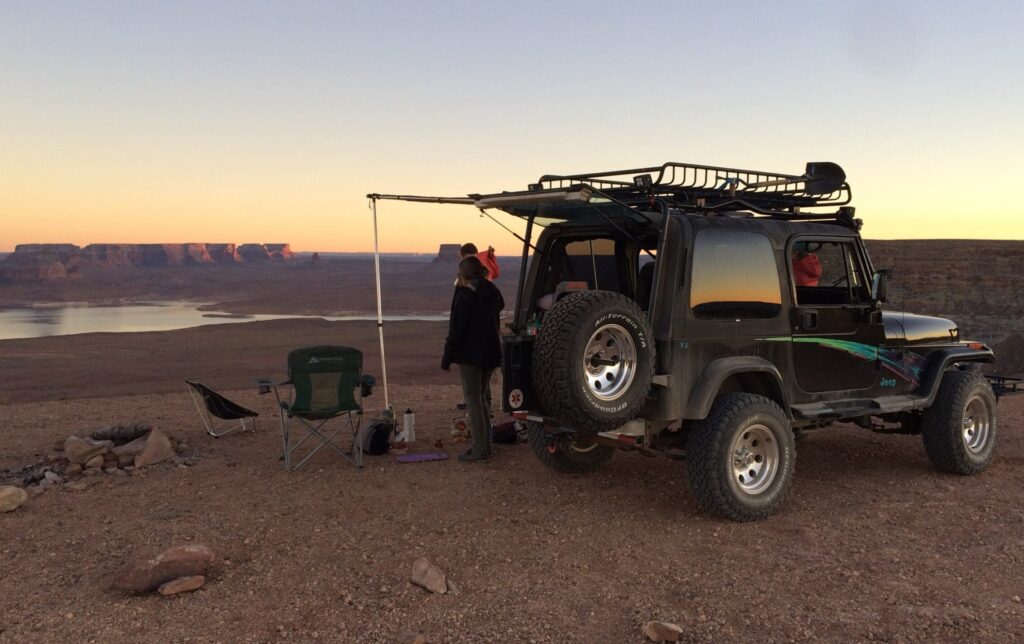
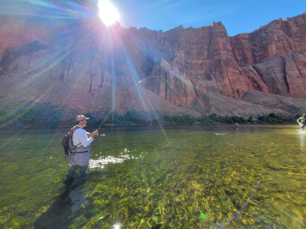
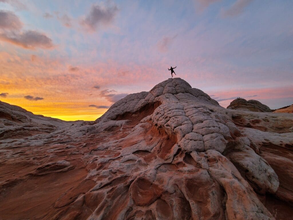
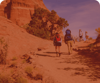
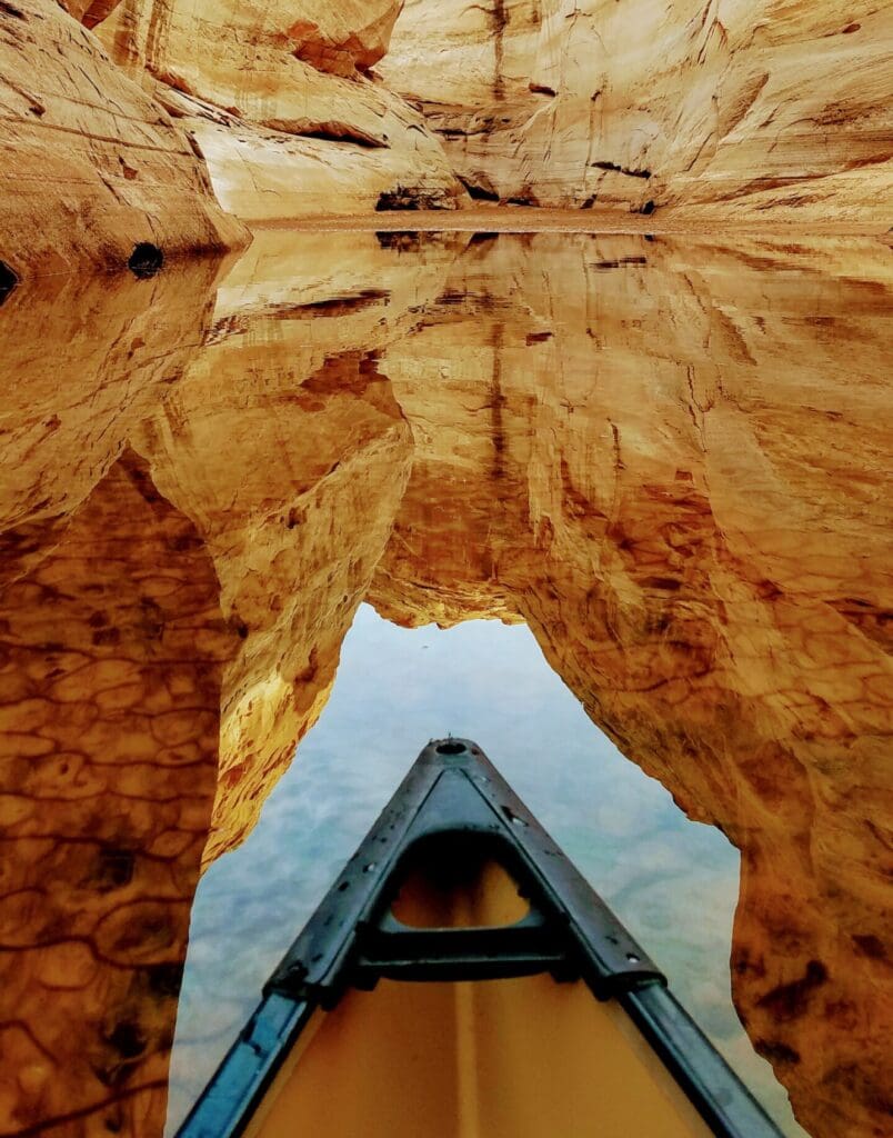
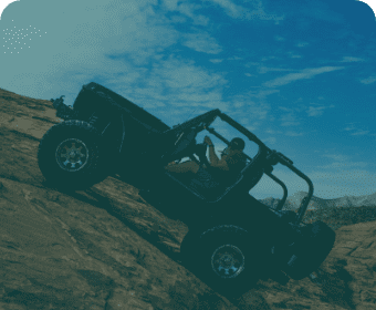
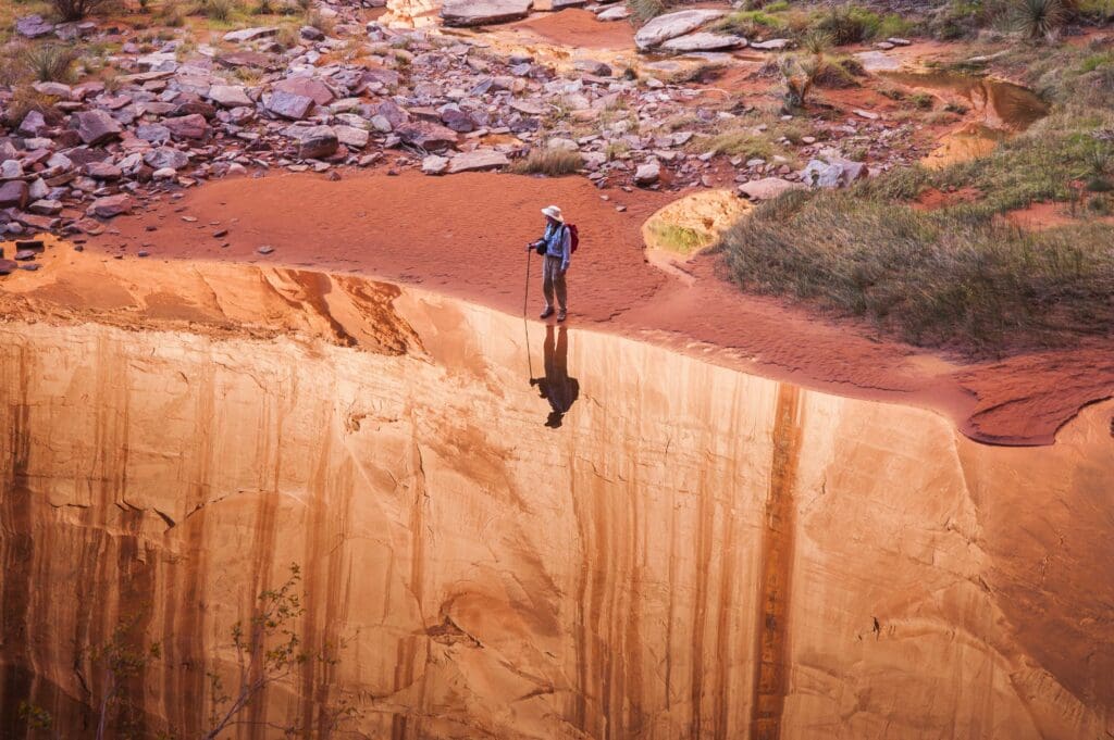
Looking for that perfect destination or just starting out on a new adventure? There’s plenty to explore here. Find yourself at home in the American Southwest. Browse points of interest in Glen Canyon, the Grand Staircase, Vermilion Cliffs and Canyons of the Ancients.
Visit us
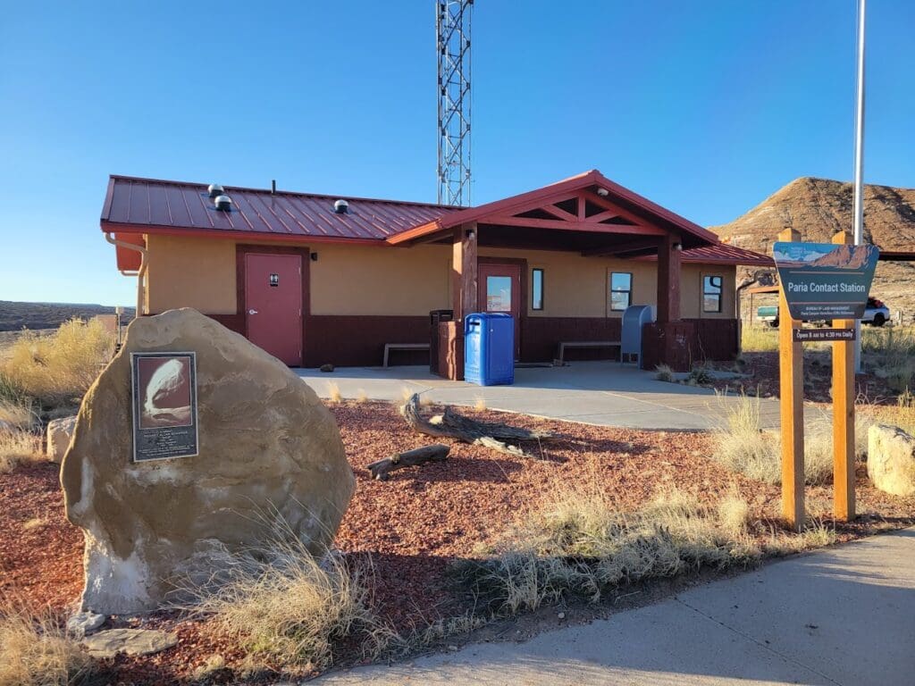
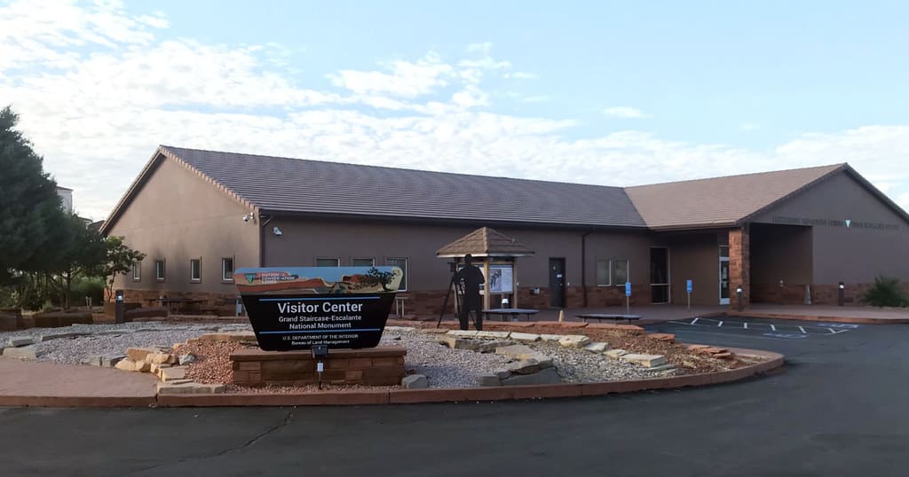
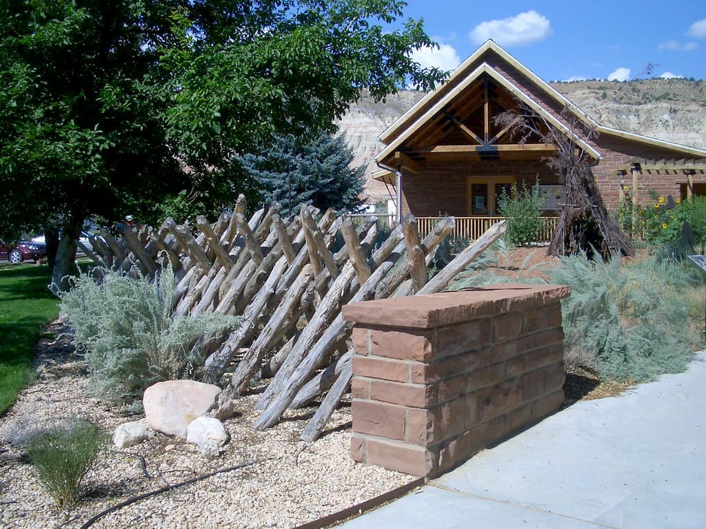
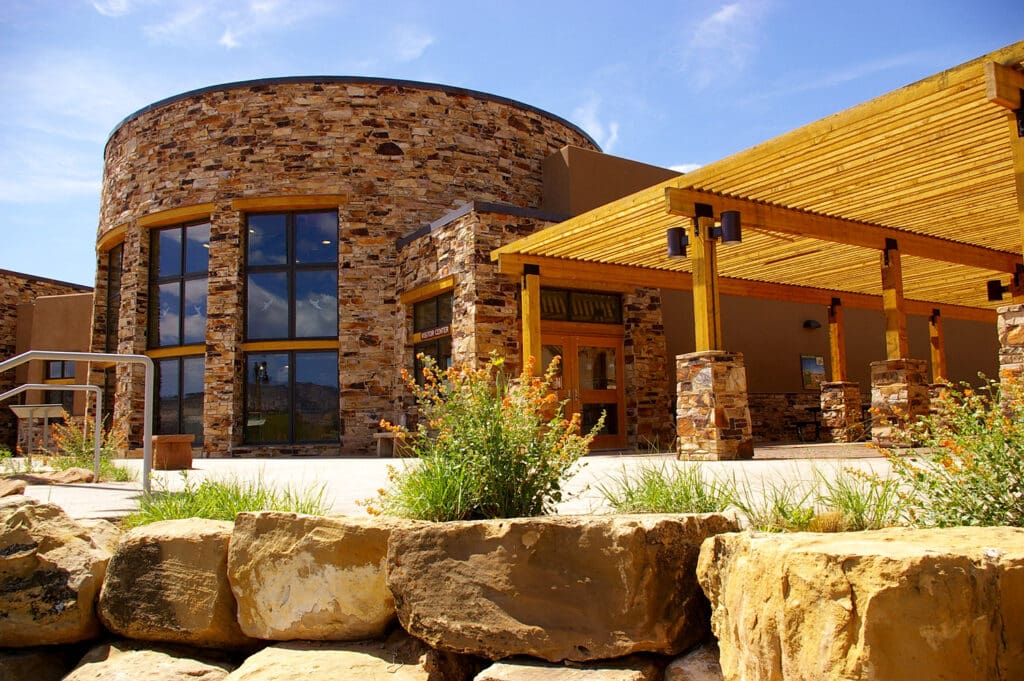
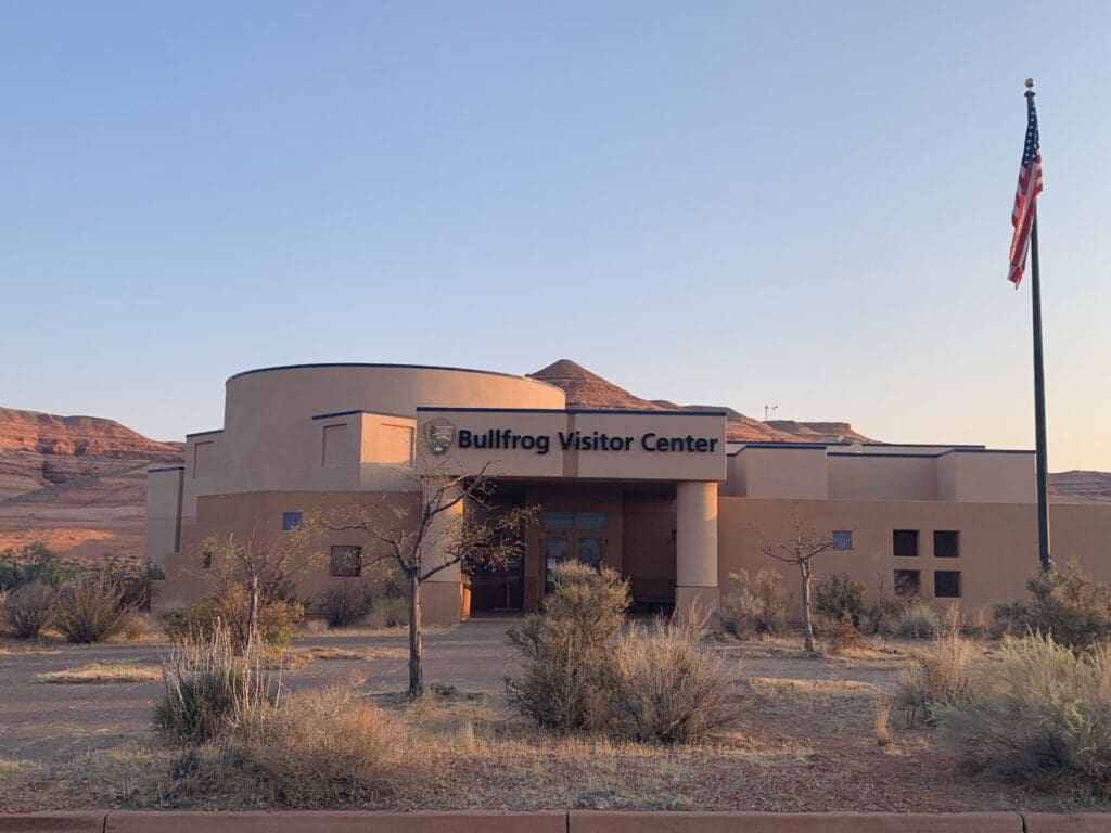
Visitor center Locations
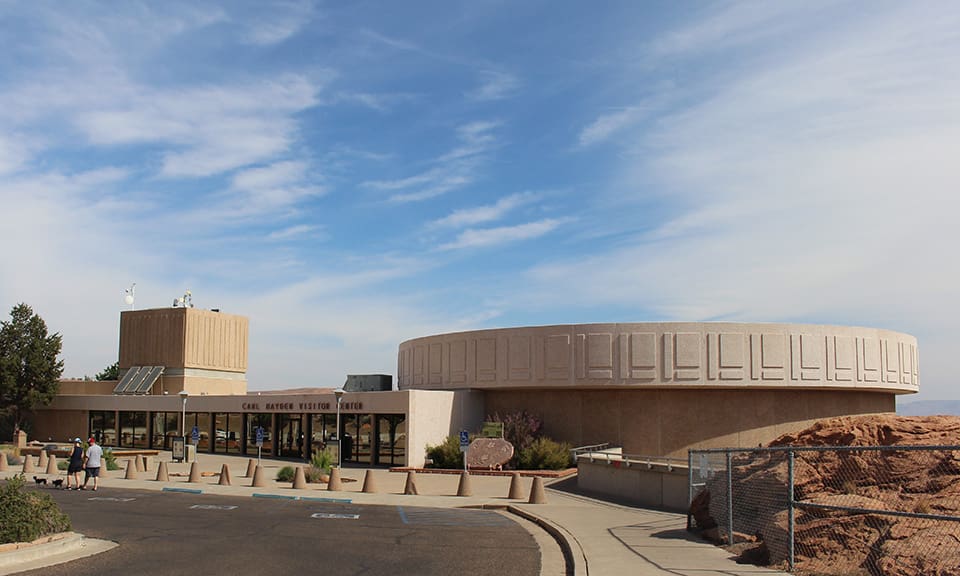
Glen Canyon Conservancy provides visitor services and retail sales at ten sites across Glen Canyon National Recreation Area, Grand Staircase-Escalante National Monument, Vermilion Cliffs National Monument and Canyons of the Ancients National Monument. Stop by for helpful trip planning information or outfit your adventure at a GCC shop. Your purchase stays right here to directly benefit local land management.
VISIT US
What TO DO
No matter what speed you travel at, there’s something for everyone. Browse by activity and build your perfect journey.

SHOP OUR STORE to support
public lands
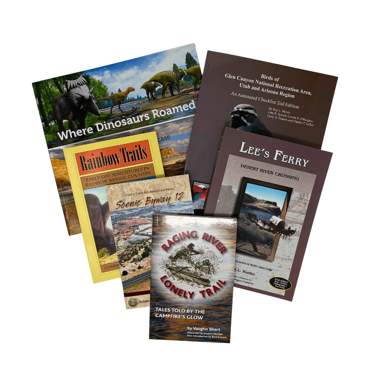
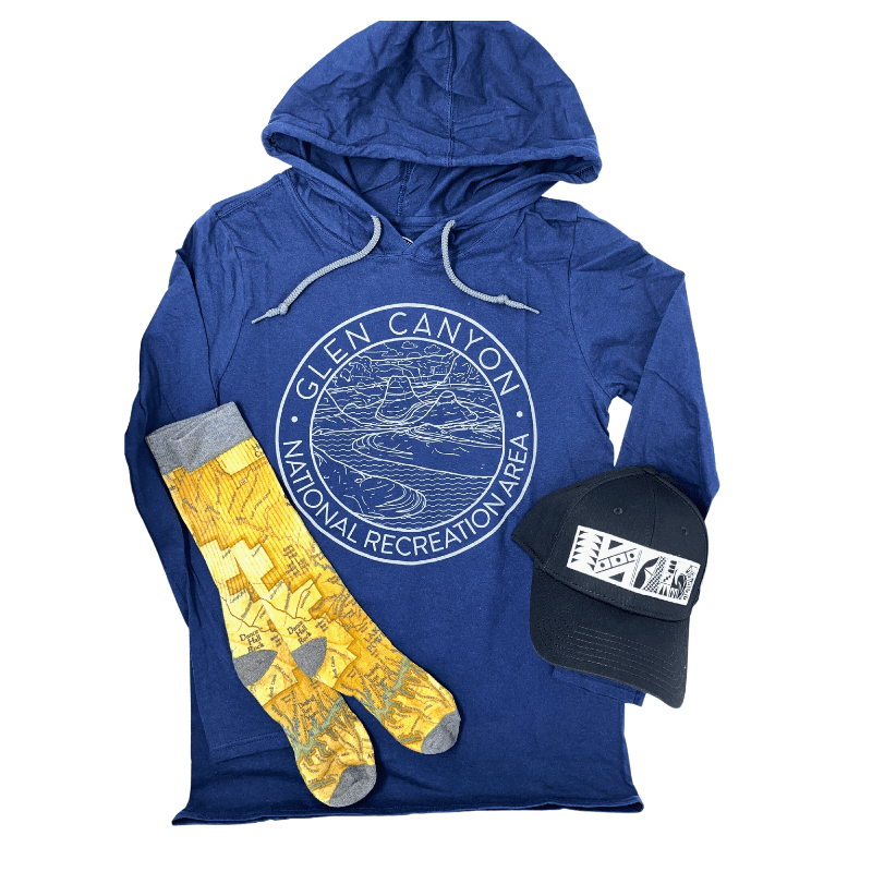
Find your next favorite book, apparel or collectible souvenir item that reminds you of the beautiful landscape of the Colorado Plateau. Also look at our maps to plan your next adventure and be sure to visit one of our visitor centers as well!
SHOP
FEATURED PRODUCTS
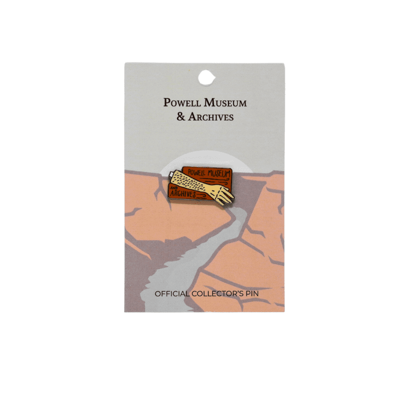
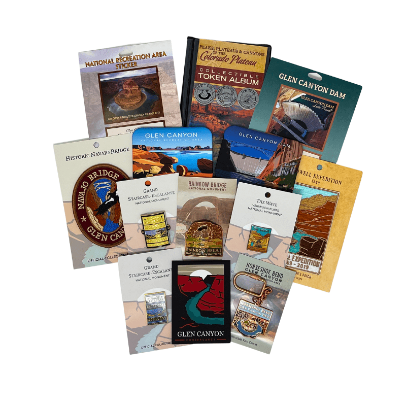
Powell’s Arm Pin
Spring 1861, the Civil War broke out and young John Wesley Powell enlisted in the Union Army. One morning, while raising his arm to signal to his men to fire, a musket ball ripped through his right forearm. Two days later, the arm was then amputated from the elbow down. Powell would complain of nerve pain for the rest of his life.
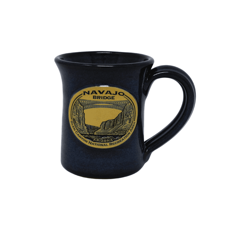
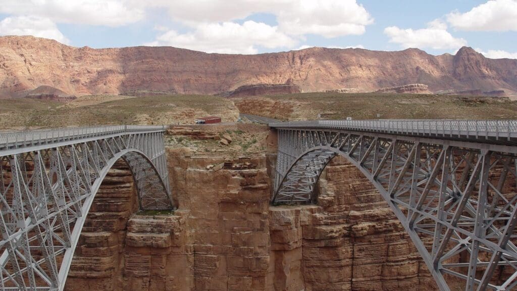
Glen Canyon NRA Navajo Bridge Mug-Denim
Historic Navajo Bridge, built by the State of Arizona, opened on January 12, 1929. The bridge was built to avoid the often difficult and dangerous Lees Ferry crossing, five miles upstream.
Handmade in the U.S.A. Deneen Pottery makes beautifully crafted stoneware mugs and each piece is safe for the dishwasher, oven, freezer and microwave.
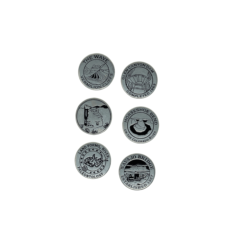
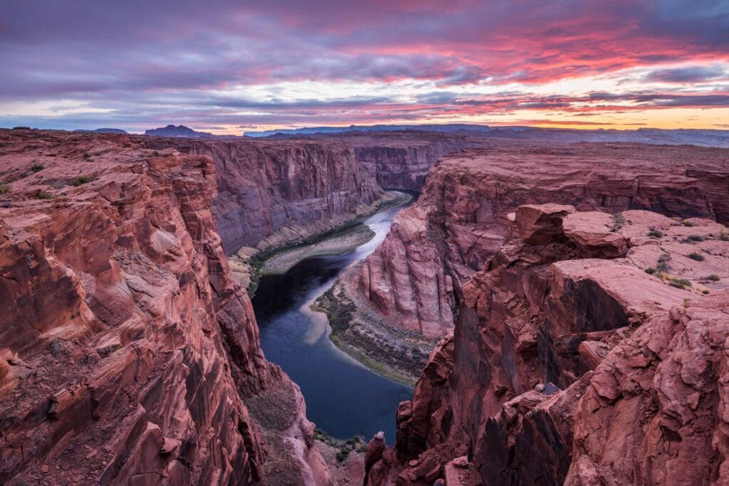
Glen Canyon Horseshoe Bend Token
Horseshoe Bend on the Colorado River in the Glen Canyon NRA makes a wide sweep around an escarpment of Navajo Sandstone. Metal token: side A-Image of Horseshoe Bend on the Colorado River; side B-Lake Powell est 1963 Arizona Utah
SHOP
PRODUCT CATEGORIES
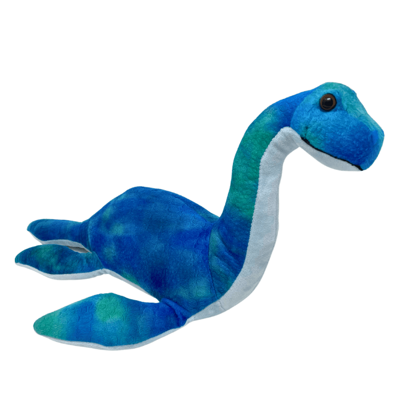
Adopt-a-Plesiosaur
Collectibles
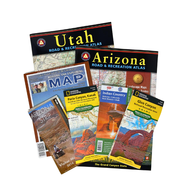
Guides And Maps
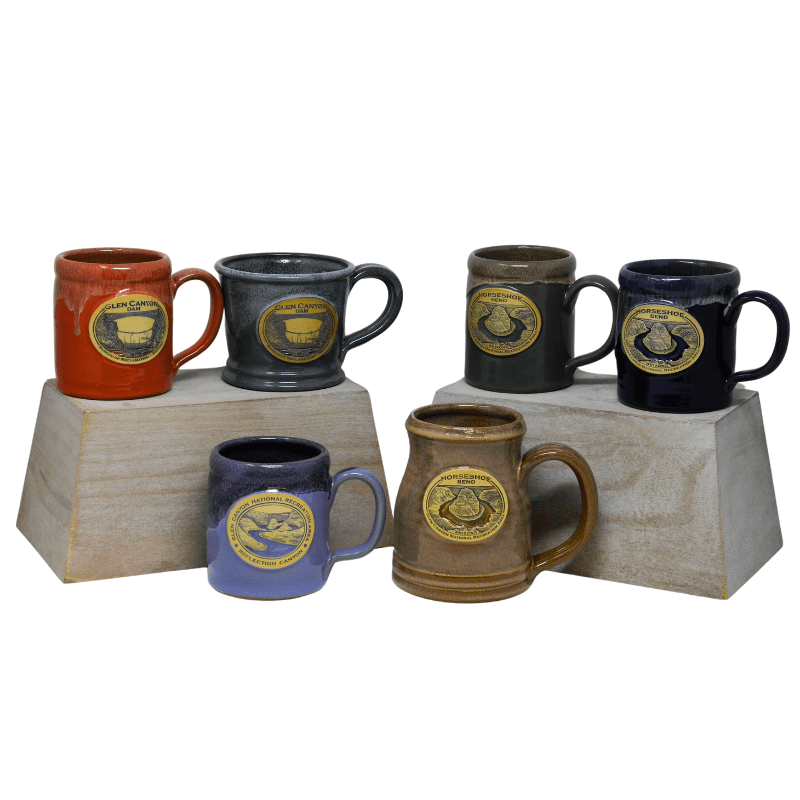
Home Goods
Publications
Apparel
ABOUT THE MUSEUM
POWELL MUSEUM & ARCHIVES
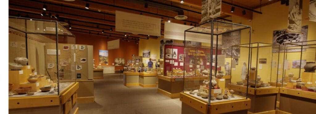
Founded in 1969, the John Wesley Powell Memorial Museum, now known as the Powell Museum & Archives, holds over 100,000 objects in trust for the people of Page, as well as other areas of the Colorado Plateau. Our collections focus primarily on the natural and cultural history of northern Arizona and southern Utah. To keep our collections in line with the passions of John Wesley Powell, the museum has focused on acquiring items that fall under cartography, archaeology, geology, paleontology, anthropology, as well as a focus on the unique city of Page’s history with the Glen Canyon Dam.
POWELL MUSEUM & ARCHIVES
Current exhibits
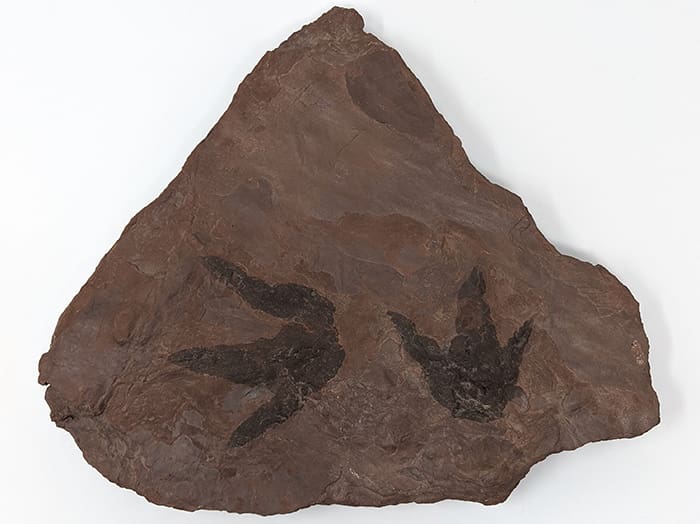
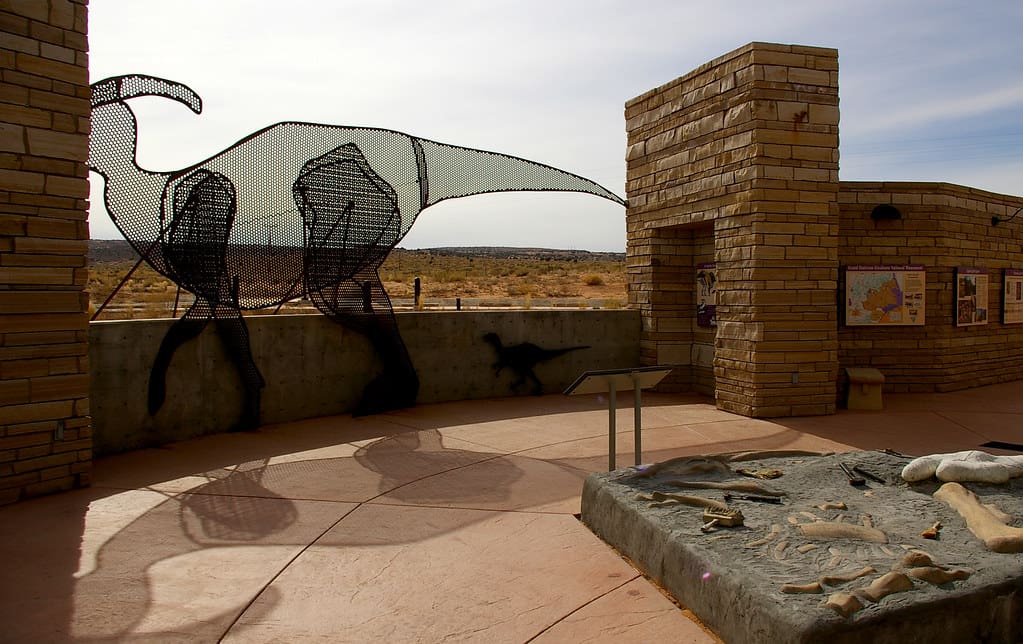
BLM Kaiparowits Plateau Fossil Exhibit
Through a partnership with the Bureau of Land Management, the Powell Museum is proud to present a brand new, never-before-seen exhibit of various species found in the Kaiparowits Plateau of …
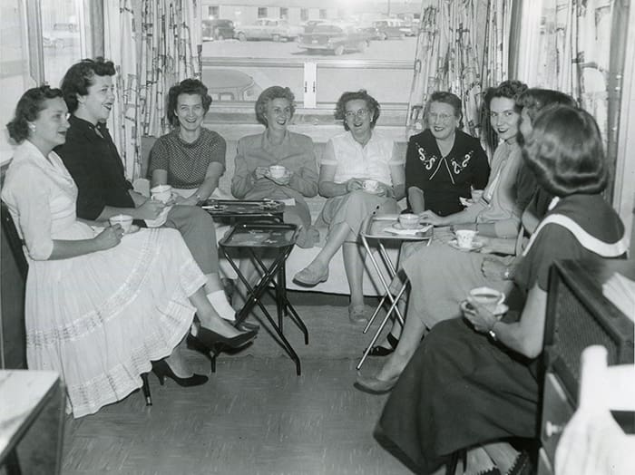
Page Pioneers Oral History Exhibit
In partnership with the Page Public Library, the Powell Museum is excited to share a digital exhibit from our “Page Pioneers”. As Glen Canyon Dam workers began moving to Manson …
POWELL MUSEUM & ARCHIVES
Permanent AND
digital Collections
The Powell Museum’s collection consists of approximately 100,000 items pertaining to the Colorado Plateau. A majority of the collection is made up of photographs and slides from numerous photographers who visited this region. In order to showcase these items, the museum has an online portal to view items that are not on display.
Some of our special collections include the John McCombs Slide Collection, a collection of over 10,000 slides from Grand Canyon expeditions spanning over three decades, as well as the Yosh Oka Slide Collection, a local Page photographer whose work was featured in publications like Arizona Highways and National Geographic.
Membership
BECOME A MEMBER
Become part of a community of people passionate about public lands. Members support our efforts in Glen Canyon National Recreation Area and enjoy special discounts across the country in stores just like ours. Become a member today!